

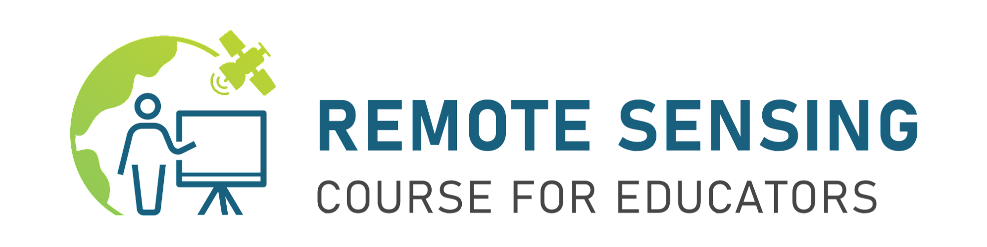
Remote Sensing course for Educators
Przekazujemy Wam zaproszenie na cykl warsztatów poświęcony obserwacjom satelitarnym w edukacji.
Kurs odbędzie się w dniach 22-26 listopada, na platformie Zoom. Będzie prowadzony w języku angielskim, zatem resztę opisu również wrzucimy w tym języku. Wiemy, że język może być nie lada barierą, więc pamiętajcie też o naszym kursie Zdjęcia satelitarne w szkole!
Course intro
This course will be of interest to Geography, Biology, Physics, IT and other sciences teachers. We will teach you how to incorporate Remote Sensing into your study program and make the learning process more useful and fun for students.
What is Remote Sensing?
It is a science about observing different objects and processes on the Earth’s surface without touching them. It should be pointed out that satellite images are the main source of Remote Sensing information. Deforestation, plant phenophases, algae bloom, water pollution, volcanic eruptions and much more can be studied with the use of freely available satellite images.
Remote sensing helps children develop critical thinking skills and is a primary source of information about our planet Earth.
We will introduce you to user-friendly online services such as EO Browser and Giovanni for processing and analyzing satellite images for different purposes.
Each day of training will consist of a lecture and a hands-on training on a specific topic:
- Basics of Remote Sensing; Abilities of Remote Sensing Techniques in studying process
- Monitoring of vegetation
- Monitoring of water bodies
- Emergency situations monitoring
- Monitoring of urban areas
- Monitoring of Global Warming consequences and more.
The organizers:
- Junior Academy of Sciences of Ukraine
- UNESCO Chair on science education
- Department of Applied Geoinformatics and Cartography, Faculty of Science, Charles University, Prague, Czech Republic
Organizational details:
Participation is free of charge.
Places are limited.
All participants will receive a certificate of attendance.
Course will be held in English, at least Intermediate level is required.
For participation, fill out the registration form https://forms.gle/HSek2rUu7YbK9eB46 by November, 15.
You will receive notification of acceptance by November, 20.
Should you have any questions, do not hesitate to ask gis_rs@man.gov.ua